top of page

This is a collection of works dedicated to the love of mapmaking and spatial analysis !
The toolsets used for the maps were ArcGIS, QGIS, GeoDA, Adobe Illustrator, MAPublisher, and R.
These are copyright protected images and, therefore, any use is prohibited!
Mapfolio Luciana Varanda
#mapforfun
Map made "for fun" in 2024 using QIGS, Adobe Illustrator, and MAPublisher.

#mapforfun
Map made "for fun" in 2023 using QIGS, Adobe Illustrator, and MAPublisher.


@Arquiteto Pedro Taddei e Associados
These are maps produced for different projects, as a freelancer for the office of the architect Pedro Taddei, between 2018 and 2023 using QIGS, Adobe Illustrator, and MAPublisher.

University of Illinois at Urbana-Champaign, USA
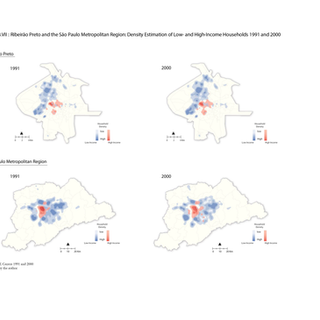
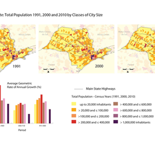
These are maps produced by me in 2011 for my Master´s thesis entitled “Spatial segregation in medium cities during the 1990s: the case of Ribeirão Preto, SP – Brazil” (and can be found at https://ideals.illinois.edu/handle/2142/26154) at University of Illinois in Urbana-Champaign, USA.For the analysis I used R, QIGS, GeoDA, ArcGIS, Adobe Illustrator, MAPublisher
Book: Entre o Céu e a Terra - O Cantinho do Céu
Date of publication: 2012
I produced a series of maps for the book Entre o Céu e a Terra - Cantinho do Céu published in 2012 by the Sao Paulo City´s Housing Department under the coordination of the architects Marisa Barda and Elisabete França.

@ SÃO PAULO TRANSPORTES - SPTRANS
Position: Geographic Information Systems Specialist
Date: March 2013 to March 2014
Technical advisor to the SPTrans’s chief of staff (Prof. Ciro Biderman). Responsible for the development of technical material for the cabinet head related to transportation public policies and development in the city of São Paulo.
@ Urbaniza Engenharia Consultiva
Position: Geographic Information Systems Specialist
Date: Sept / Nov 2011
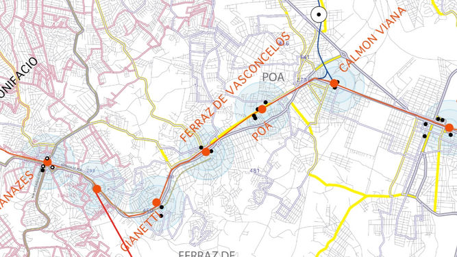
Production of thematic maps for the project “Study of the Structuring and Integration of Transportation Services in the East Region of RMSP from the Expansion of the East Line 11-Coral Express” carried out by the company Urbaniza Engenharia. Tasks included heads up digitization, network analysis, dataset collection, geodatabe creation and management, and map making.
@ GisOffice Serviços de Informática Ltda.
Position: Geographic Information Systems Specialist
Date: Jun -Dec 2015
I was part of the GIS team responsible for the project “Delimitation and characterization of polygons within which are to operate the local feeder networks of the collective transportation structural system by bus in the city of São Paulo.” Part of the Sustainable Transport and Air Quality Program (STAQ) ) of ANTP. Tasks involved a great amount of network analysis, data plotting, socio-demographic analysis, map making, and geodatabase management. I was the sole responsible for map making.

@ Diagonal Empreendimentos e Gestão de Negócios Ltda.
Position: Geographic Information Systems Specialist
Date: March 2012 - March 2013
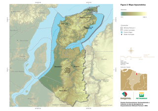
Responsible for mapmaking, socio-spatial analysis and georeferenced dataset management in projects such as: “Socioeconomic, Socio-environmental and Cultural Studies in the area of coverage of the Premium I, MA Refinery”; “Sustainable Suape Project” and the “Sustainable Economic Development Plan of Piauí.”Tasks involved, but were not limited to, data collection, data digitalizing, data import from different sources (CAD, PDF, etc), demographic dataset gathering, plotting data from tables, network creation, etc.

Mapa Operação Urbana Água Espraiada
Date of display: 2012
This is a high resolution map (2.7 x 1.7 meters) used in a exhibition at the Brazilian House Museum (Museu da Casa Brasilileira) organized by the architect Marisa Barda entitled Urban Operation Àgua Espraiada concerning the interventions projected for a specific area in the city of Sao Paulo.
@ TC Urbes
Position: Geographic Information Systems Specialist
Date: Dec 2008 - Sept 2009
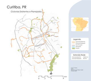
TC Urbes is a consulting firm specialized in mobility and accessibility planning along with the requalification of public spaces. The main goal of TC Urbes is to promote intermodal transport. During my time at TC Urbes, I was responsible for maps, spatial analysis and geodatabase management. The maps below were produced by me for the book The Bicycle and the Cities, an informative material on bicycle and city planning in collaboration with the Energy and Environment Institute. In Brazil the lack of infrastructure for non-motorized modes of transportation also entails lack of consistent georeferenced datasets, so, this work included a lot of heads up digitization and dataset creation along with map making and data plotting. https://www.mobilize.org.br/estudos/13/a-bicicleta-e-as-cidades--iema--2010.html

@ Giansante Engenharia
Position: Geographic Information Systems Specialist
Date: Dec 2008 - Sept 2009
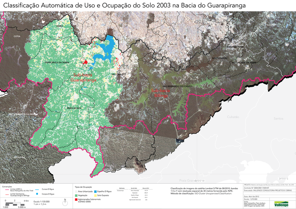
Maps elaborated for the Fundação Bacia do Alto Tietê - Anual Report

bottom of page


